 |
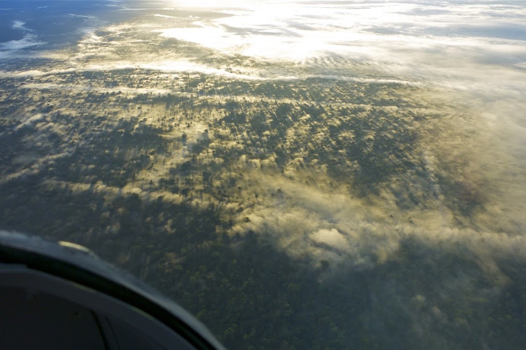
| Low lying fog covering the south Papua low-lands |
The morning started normal enough with a thin layer of fog lingering around the airport and surrounding area. It started to thicken up as the sun came up, enough that a Garuda B737 was unable to get visual on the VOR/DME instrument approach. They elected to hold over the VOR to wait for the fog to lift, as is normally does.
 |
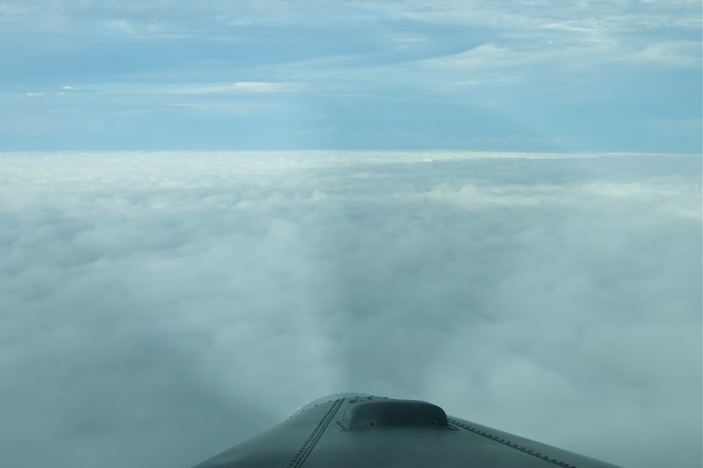
| Low lying blanket fog, covering Timika, Papua |
I elected to get going and start the day’s flying schedule as fog like this doesn’t usually last long. Once airborne en-route to Beoga I could see the fog layer was pretty low and thickening up into low lying clouds. Surprisingly the blue skies and sunshine didn’t seem to be having much effect on things. Still, I figured by the time I return from Beoga, in an hour or so, it should have burnt off.
 |
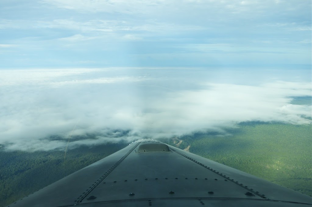
| Overhead Timika airport |
However, upon returning to Timika an hour later, that wasn’t to be the case. Flying visually just above the MDA (minimum descent altitude) of the VOR/DME approach it was clear there was no point in even attempting the instrument approach, as there was no way I would get visual through the now extensive low cloud. By now that Garuda B737 had diverted to Sentani having failed on their latest attempt to get visual on the approach. After a few minutes flying an OBS track for both runways, just above the clouds (this is where we set the GPS course bar to be aligned with the runway heading and fly along that line hoping to get visual with the ground below), I elected to divert to the nearest airstrip, Tsinga.
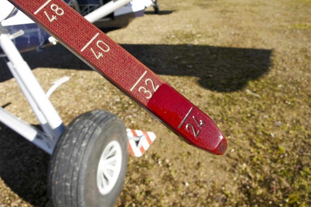 |
| Fuel dipstick |
Tsinga is one of the diversion options we have for Timika as it’s only 15 minutes away to the north. There is another airstrip to the south, about the same flight time away but as I’d already overflown Tsinga, I knew it was out of the clouds and the safest option. Both these airstrips are visual only. The nearest airport with an instrument approach is Biak which is nearly 2 hours flight time. We simply cannot carry enough fuel for that to be a standard diversion option and still be able to take useful loads into the mountains.
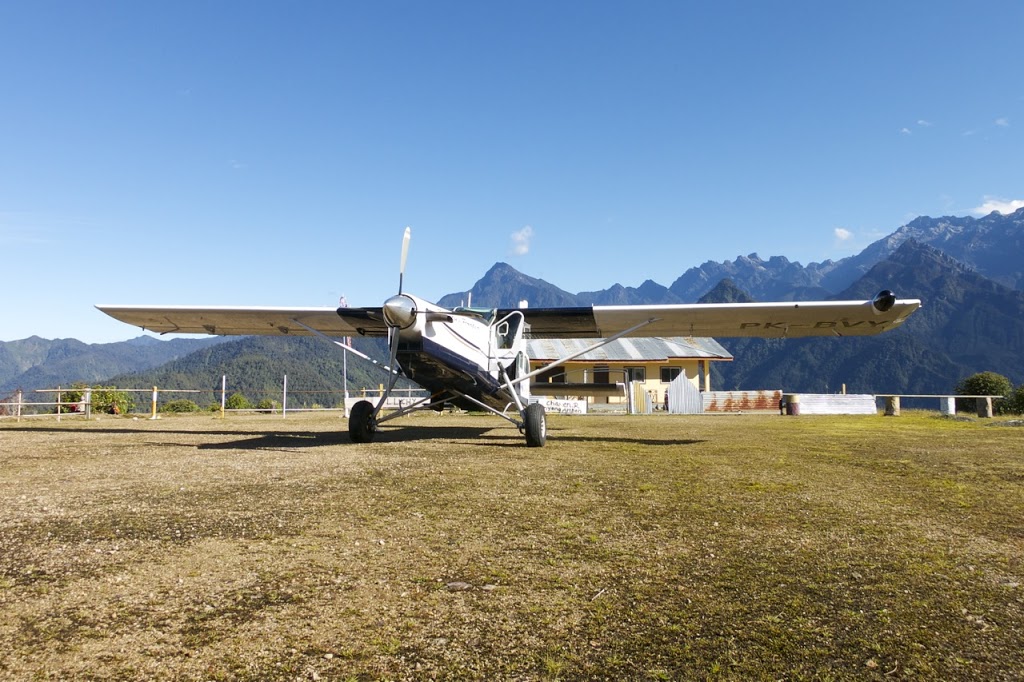 |
| Basking in the sunshine at Tsinga, Papua |
Once on the ground in Tsinga, I double checked the fuel situation using the dipstick and had around 1.5 hours flight time remaining (60 US Gal). Plenty of fuel but not worth flying back to Timika until I knew the clouds had lifted sufficiently to get under them for the approach.
Luckily, Tsinga is close enough to Timika that there’s a cellphone signal, so it was just a matter of contacting the crew there and awaiting a favourable weather report. This came about an hour later so I departed back to Timika.
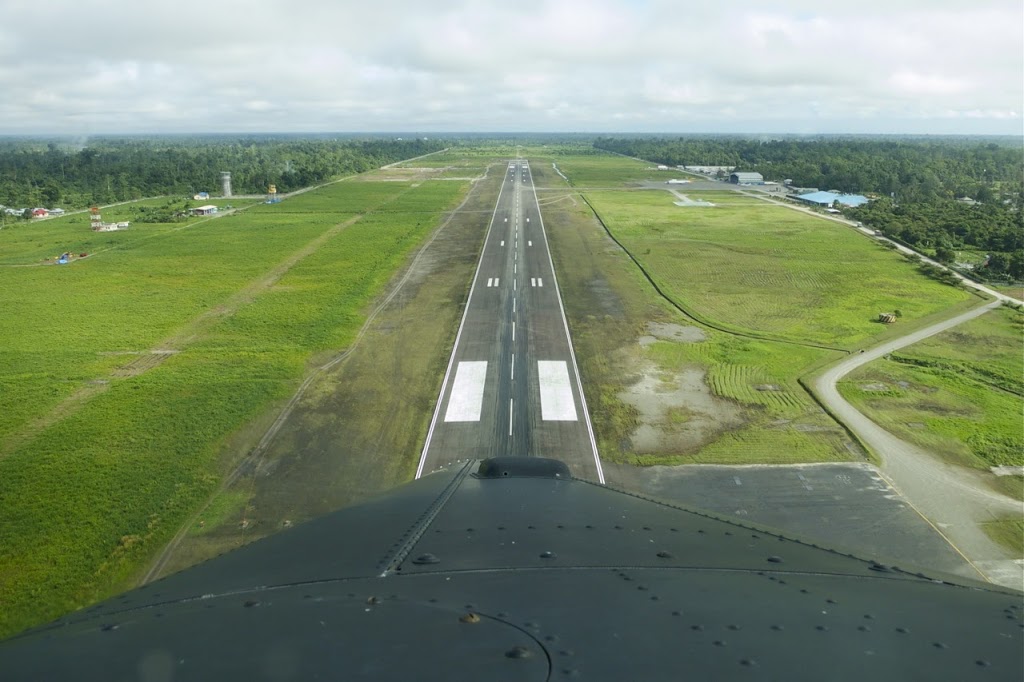 |
| Final approach, Timika, Papua |
By now the clouds were more broken and I was able to descend visually through the various holes and land safely back in Timika. I’m sure there will be plenty more days like this but that what we’re trained for and it’s always good to put that training to the test. It certainly makes for an even more varied day from the usual and goes to show, even when you’re flying to and from the same places, no two days are ever the same in aviation!
Discover more from Matt Dearden
Subscribe to get the latest posts sent to your email.
Thank you Matt for this post.
Regards
No worries! Glad you’re enjoying the blog :o)
Thank you so much for sharing your adventures!
It’s my pleasure!
Hello Matt- nice to run into your blog. I’m bush flying on another continent, so I enjoy ready about another part of the world. Do you ever run into any Yajasi folks over there?
Hi Steve, I’ve not run into any yet but have heard and seen their PC-12 flying about the place occasionally. I think they’re based mainly out of Sentani and Wamena, neither of which I fly from at the moment.