 |
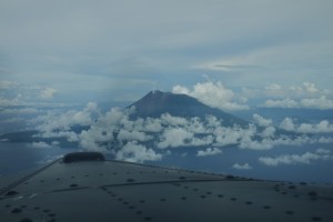
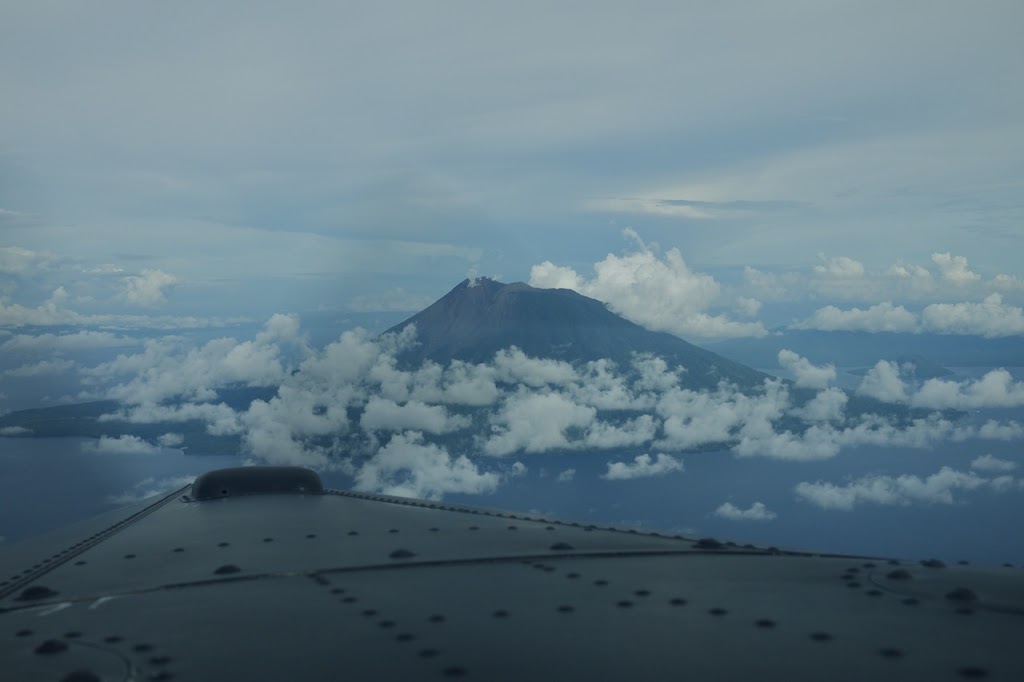
| Arriving at Mt. Gamalama from the west |
|
Whilst survey flying isn’t the most interesting in the world, it does take me to some pretty interesting places though-out Indonesia. One such place is last week’s survey out of Ternate. The small town of Ternate is located on the edge of Mount Gamalama which last erupted in December 2011 (that’s only 2 months ago!). So, it’s obviously still active as can be seen from the constant venting steam…
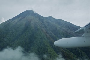 |
| Close up fly by of Mt. Gamalama |
The ferry flight over from Balikpapan was nicely assisted by a tailwind and was dispatched in just over 5 hours. As it came into view, the sight of Mt. Gamalama was spectacular; sticking out of the water with that stereotypical volcano shape. I’d loved to have done a lap around the island for some photos but had two problems. Firstly the airport was due to close at 5pm (we arrived at 16:59) and secondly, after 5 hours without a bathroom handy, I was bursting!
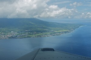 |
| Sultan Babullah Airport, Ternate |
The following day there was a delay with waiting for the survey flight’s security officer who was due to arrive later that afternoon, so I took the opportunity to do a little exploring with one of the survey operators. We drove all the way around the island (which only takes 40 minutes or so) in search of a nice beach. However, being a volcanic island, locating a picturesque beach was not going to be an option. Black sand was to be the only type available. Still, the water was lovely and clear.
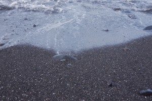 |
| Black sand beach |
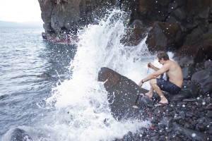 |
| Waves crashing on the northern coast |
The survey itself was located about 40 minutes from Ternate over some of the most challenging terrain I’ve had to fly a survey over. Elevation changes in excess of 2000ft were incredibly difficult to keep 900m above at all times whilst staying on each of the lines. Vx climbs and beta descents on many of the lines certainly kept me busy.
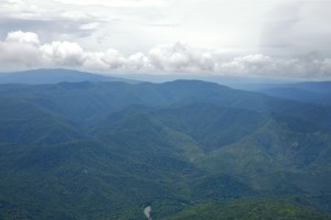 |
| Survey area |
Added to the terrain was a pretty strong wind which was causing some serious turbulence across some of the ridges. Keeping the wings as level was proving impossible at times. I’m amazed at how the LIDAR and camera managed to collect the data under such circumstances.
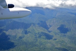 |
| Survey area |
The job itself only took a couple of days flying which was fortunate given the hotel we were staying in. Still, I’ve stayed in much worst and the view from my room in the evenings was rather lovely:
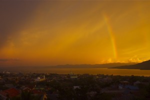 |
| Sunset over Ternate |
For more information on Ternate, take a look at my good buddy and fellow pilot’s blog here (opens in a new window).
Like this:
Like Loading...
Related
Discover more from Matt Dearden
Subscribe to get the latest posts sent to your email.


Could definately be worse jobs than doing VX climbs and beta decents over terrain in a Porter.
It certainly keeps the survey flying a little more interesting that just following straight lines!